Map Catalog

Sunday, April 7, 2013

Black and White Aerial Photo Map


http://freegeographytools.com/2007/goofing-around-with-pan-sharpening

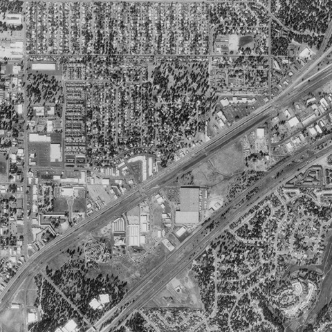
This is a black and white aerial photo of what appears to be a small town with a residential neighborhood,  major roads, and companies. These types of photos are more traditional based because they do not have a wide color scheme, only those that range between black and white.
Posted by Unknown at 1:16 PM
Email ThisBlogThis!Share to XShare to FacebookShare to Pinterest

No comments:

Post a Comment

Newer Post Older Post Home
Subscribe to: Post Comments (Atom)

Blog Archive

  • ▼  2013 (50)
    • ▼  April (32)
      • Stem-and-leaf Plot
      • Box Plot
      • Histogram
      • Parallel Coordinate Graph
      • Triangular Plot
      • Windrose
      • Climograph
      • Population Profile
      • Scatterplot
      • Lorenz Curve
      • Bilateral Graph
      • Nominal Area Choropleth Maps
      • Unstandardized Choropleth Map
      • Standardized Choropleth Map
      • Univariate Choropleth Map
      • Bivariate Choropleth Map
      • Unclassed Choropleth Map
      • Classed Choropleth Maps
      • Range Graded Proportional Circle Map
      • Continuously Variable Proportional Circle Map
      • DOQQ
      • DEM
      • DLG Map
      • DRG
      • Isopleth Map
      • Isopachs
      • Isohyets
      • Isotach
      • Isobar
      • LIDAR
      • Doppler Radar
      • Black and White Aerial Photo Map
    • ►  March (6)
    • ►  February (9)
    • ►  January (3)

About Me

Unknown
View my complete profile
Watermark theme. Powered by Blogger.